A new sense of space and privacy by the sea Link to A new sense of space and privacy by the sea section
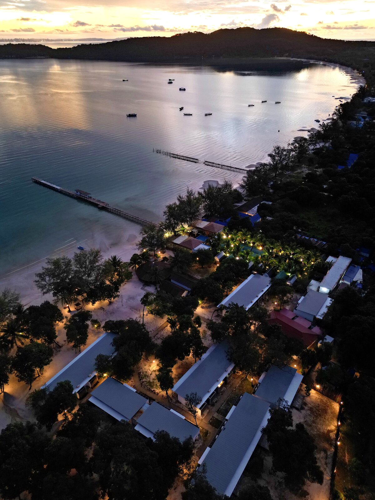
The hotel concept: a 'Templation Islander', a beach version of the eco-friendly high-end resort at the gates of Angkor.
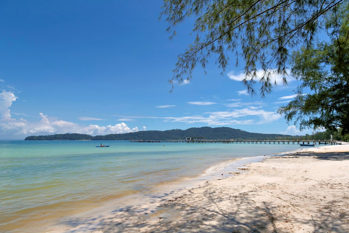
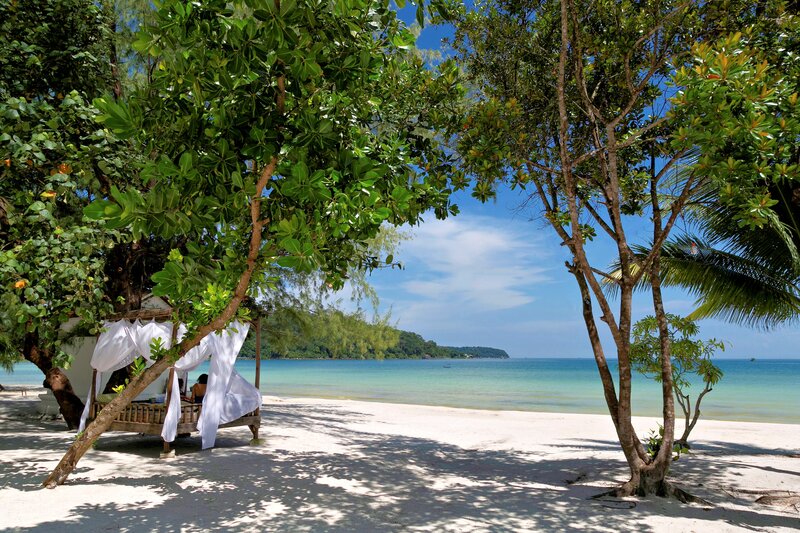
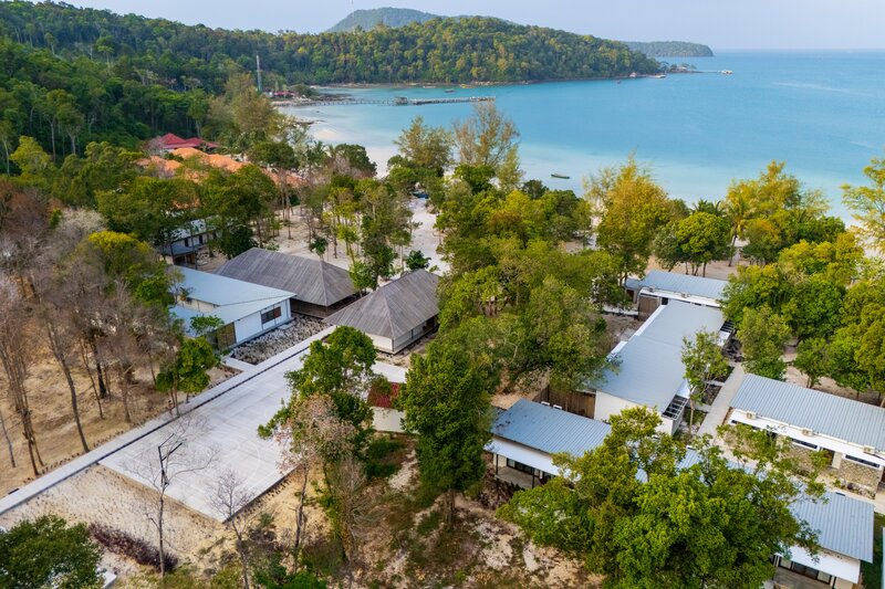
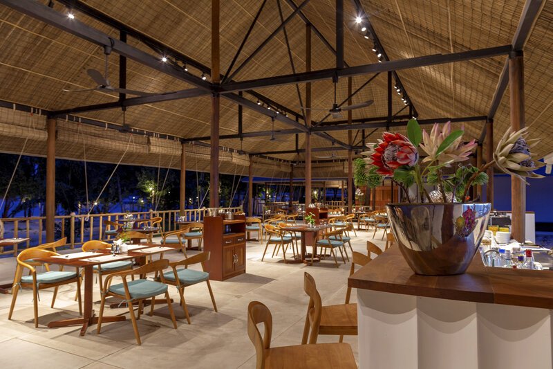
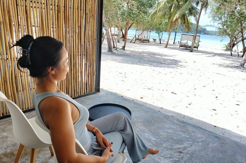
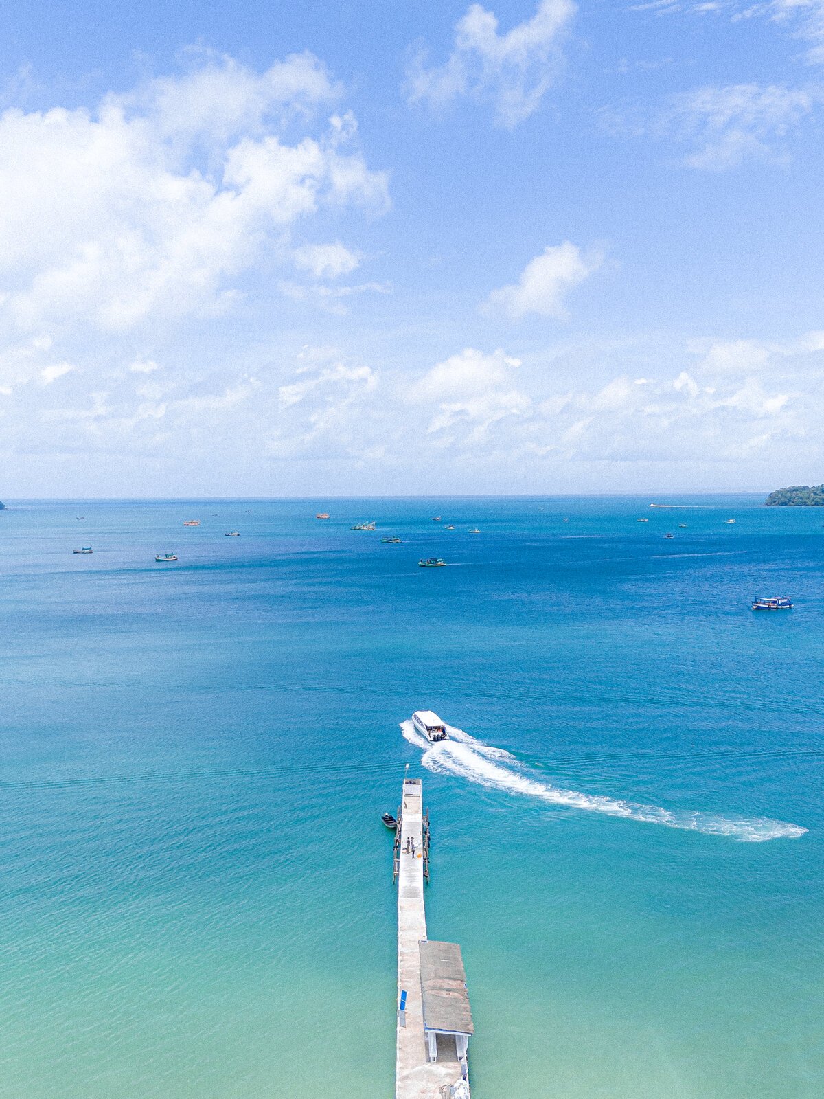
On a vast expanse of beachfront and forest hill grounds, nestled in the best-preserved part of Saracen Bay (ច្រក សារ៉ាសេន in Khmer), with a 110-meter long pure white sand beach, the resort is defined by the privacy of its accommodations, its refined beach cuisine, eco-friendly resources.
'Far away' and yet so close Link to 'Far away' and yet so close section
When botanist and explorer Henri Mouhot sailed from Chantaboun (now Chantaburi, modern Thailand) to Cambodia in 1858, he first passed Koh Chang island, then Koh Kut, then Koh-Kong, and mentioned an island "which is nearly a desert, but it produces the beautiful cardamom, as also gamboge, collected from the bamboos, which the natives split open when hard […]. I soon forgot the miseries of the first part of our voyage, and was amply recompensed by the shifting scenes of beauty presented to us by the group of islands we were passing.
'At length we reached the advanced posts of the pirates of Komput [Kampot], from the heights of which they keep a look-out, and, as soon as a sail comes in sight, make preparations for an attack. We had no cause for fear, having no merchandise to tempt them; and, moreover, we were all well-armed. About five in the evening we cast anchor in a little bay, where we cooked our rice, and my men lay down to take some repose, having had none the night previous. We were a day and a half’s sail from Komput.”
This ‘beautiful group of islands’ was then known as Koh Rong, កោះរ៉ុង (kaoh-rong) in Khmer, meaning Big or Prosperous Island according to the great Khmer linguist Chuon Nath. However, Dr John Crawfurd, a Scottish surgeon and colonial administrator who visited Cambodia and Siam in 1821-1822, stated that "the ‘gamboge’ gum was called ‘Rong’ in the Siamese and Kambojan languages".
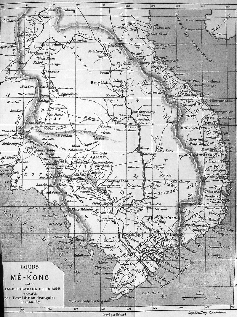
Later on, the qualifier សន្លឹម (sanloem), which literally means ‘far off sight, ‘too far to be seen’, was added to the smallest one. On the regional map drawn by Mouhot and rectified by French explorers in 1866-67, the island was named 'Kong-san-lem'.
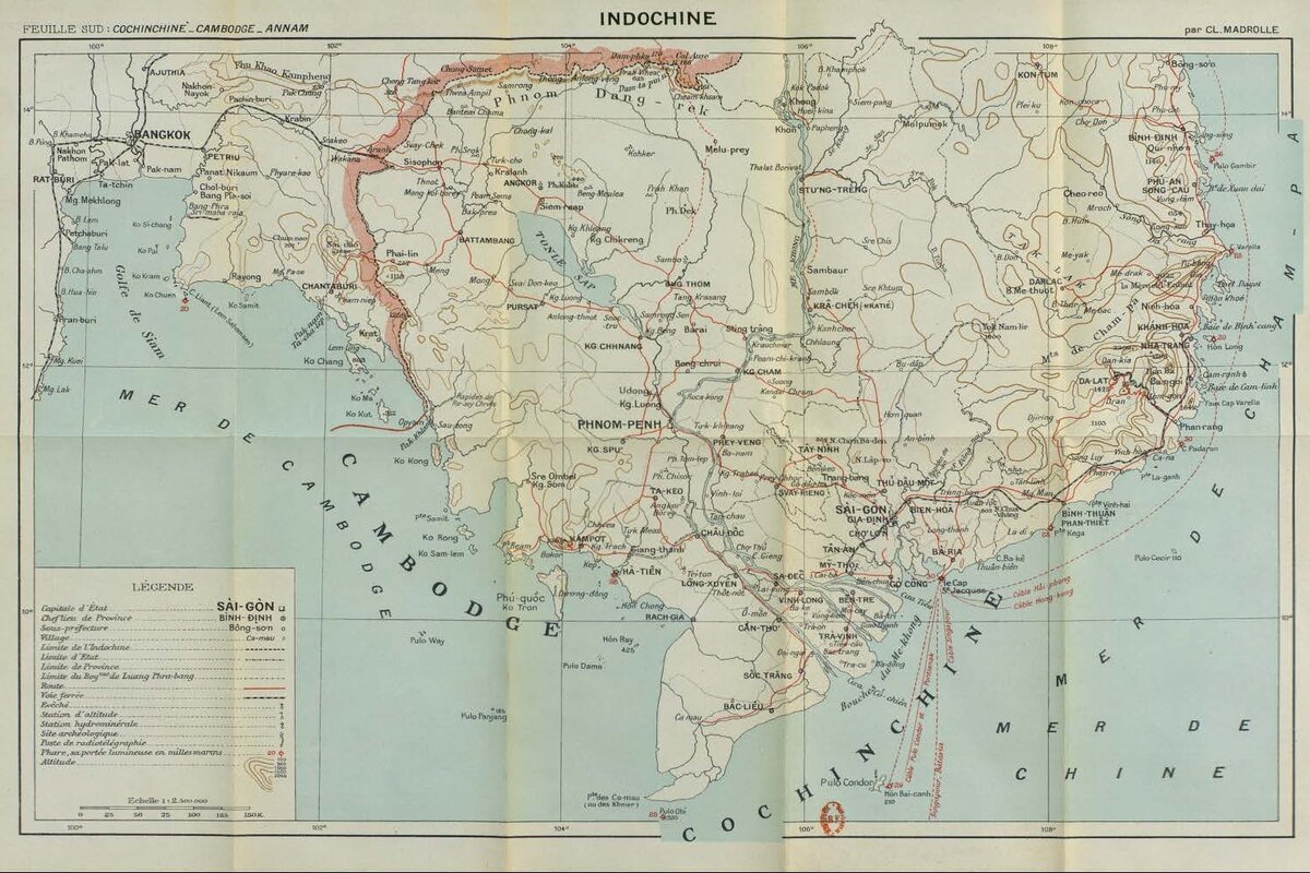
In his 1902 Guide du voyageur: Indo-Chine, Canal de Suez, Djbouti et Harar, Indes, Ceylan, Siam, Chine Méridionale, Claudius Madrolle noted: "Les iles jusqu'à Samit dépendent du cercle de Kampot. Toutes présentent des hauteurs boisées: Rong Sam-lem a une très bonne rade sur la côte est, où les grands vapeurs peuvent mouiller et prendre de l'eau; petit poste cambodgien; on y chasse le sanglier et il y a encore quelques tigres. Cette ile est annoncée en mer par un feu éclair de 4eme ordre, à 4 panneaux à éclats équidistants. Cette terre avec Koh Kong ferme la baie de Kompong Son qui est limitée au nord par la pointe Samit, où est installé un poste de milice cambodgienne." ["The islands up to Samit are part of the Kampot circle. All have wooded heights: Rong Sam-lem has a very good harbor on the east coast, where large steamers can anchor and stock up on water; small Cambodian post; wild boar are hunted there and there are still a few tigers. This island is announced at sea by a 4th order flash light, with 4 equidistant flashing panels. This land, along with Koh Kong, closes the bay of Kompong Son which is limited to north by Samit Point, where a Cambodian militia post stands guard." [23 years later, in 1925, the same author included the map below in his book To Angkor.]
As for Saracen Bay, the origin of the name remains debated, but might refer to Arab sailors or Malay pirates who were active in the area since early times. Nowadays, the island’s remoteness is more reflected in its untouched coastline than in the actual travel time from mainland Cambodia, a pleasant 40-minute journey in fair weather condition.
Claudius Madrolle's 1925 Map of Indochina Link to Claudius Madrolle's 1925 Map of Indochina section
Earliest mention of Koh Rong Sanloem ('Ko Sam-lem') in a geographical document
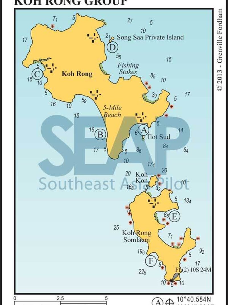
Koh Rong Sanloem is a renowned destination for leisure sailing in Southeast Asia, and the SEAPilot lists [map above] the anchorage points available around the island.
The island is a top spot for birdwatching (great hornbill, kingfisher, osprey...), and a maritime preservation area known for harboring up to seven species of seahorses. To know more about the Seahorse Project developed by Marine Conservation Cambodia since 2007, click here.
